 >
>
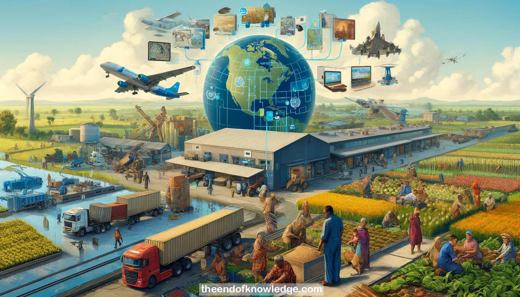
Concept Graph & Resume using Claude 3 Opus | Chat GPT4o | Llama 3:
Resume:
1.- World Food Programme (WFP) is the food assistance agency of the UN, working in 82 countries and reaching 80-100 million people.
2.- One in nine people globally still lack sufficient quality and quantity of food, a disgrace in 2018 with available means.
3.- Main causes of hunger include natural disasters, climate events, conflict, and chronic hunger due to insufficient nutrition.
4.- Despite progress, the number of hungry people increased by 20 million over the last two years, a concerning trend.
5.- WFP has a large physical supply chain moving 3.5 million tons of food assistance and delivering cash assistance.
6.- Other UN agencies like IFAD and FAO also play vital roles in fighting hunger alongside WFP.
7.- There are 500 million smallholder farmers worldwide, contributing significantly to food supply in Africa and Asia.
8.- Challenges for smallholders include increasing yields, reducing food loss and waste, accessing markets, and climate change impacts.
9.- Satellite imagery is used for seasonal rainfall monitoring, setting up parametric risk insurance programs, and assessing agricultural impacts of conflicts.
10.- Predictive crop yield modeling combines satellite data with ground-collected data to estimate food assistance needs.
11.- Infrastructure assessment using drone and satellite imagery helps determine damages and access to affected populations after shocks.
12.- Mobile technology presents opportunities to deliver services and communicate with smallholders in new ways.
13.- WFP is exploring chatbot-like technology to hear millions of voices and aggregate information from service recipients.
14.- Predictive crop modeling and seasonal mapping data can be combined into tailored advice services for individual smallholders.
15.- Mobile platforms are being used to link smallholder sellers with purchasers and facilitate input purchases.
16.- Highly industrialized agriculture in places like Iowa is data-intensive, with farms becoming IT departments that happen to grow things.
17.- In contrast, smallholder farms in places like Kenya have irregular field boundaries and intercropping, making signals detection complicated.
18.- Yield prediction in smallholder environments requires combining satellite imagery with on-the-ground information to build predictive models.
19.- As tools become more sophisticated, the ability to shift from retrospective to real-time to predictive analytics is increasing.
20.- From an insurance perspective, large farms are easily insurable while smallholders have been economically infeasible to service.
21.- Uninsured subsistence farmers exposed to climate risks can easily be knocked off their farms, leading to cascading social issues.
22.- Innovations like distributed weather sensors, mobile connectivity, and parametric insurance have made insuring smallholders feasible.
23.- Satellite-enabled insurance has catalyzed innovations in input insurance, credit extension, and agronomic information services for smallholders.
24.- AI-powered targeted advice represents a significant opportunity to provide customized recommendations to individual farmers.
25.- Remote monitoring via satellites can lower the cost of running agricultural RCTs, enabling more and varied interventions to be tested.
26.- Predictive analytics can optimize agricultural support services like equipment rental, reducing costs for smallholder farmers.
27.- Supply chain logistics monitoring is another major opportunity to reduce spoilage and improve consistency.
28.- Insurance enables farmers to take informed risks with higher-yield crops and encourages diversification to spread risk.
29.- The parametric insurance model is being applied beyond agriculture to provide coverage for disaster risks in vulnerable communities.
30.- Linking satellite-based approaches to various domains affecting vulnerable populations represents a significant opportunity for the SDGs.
Knowledge Vault built byDavid Vivancos 2024